TAMPA, Fla. (WFLA) – After a busy stretch of days with Hurricane Elsa last week, we’re thankfully not expecting much activity at all in the tropics this week.
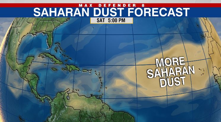
The quiet conditions are thanks in part to a renewed batch of Saharan dust moving across the Atlantic.
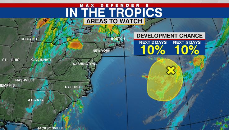
There’s only one area in the Atlantic Basin currently being monitored by the National Hurricane Center and it’s not of any concern. A non-tropical area of low pressure several hundred miles south of the Canadian Maritimes could develop some characteristics as it wobbles south over warmer waters. This system only has a 10% chance of tropical development over the next five days and will likely stay out over open water.

Gusty winds over the Sahara Desert in Africa kick up dust this time of year and easterly trade winds can carry it more than 5,000 miles across the Atlantic. Most of the dust is suspended high up in the atmosphere at an altitude of about one to four miles.
Although most of this current batch of dust will likely miss Florida, we could still see some enhanced sunrises and sunsets.

Another healthy batch of dust emerging off of Africa will help to limit development over the next several days.
Tropical activity typically peaks late August into September.


